
This article is related to a series of Geolocation challenges posted on Hacktoria. This article is specific for Geolocation 27. This geolocation challenge is now unavailable on Hackoria. You can still practice this challenge to polish your skills.
The challenge is to geolocate the given image.
The screenshot of the challenge is given below:

Let’s try to solve this challenge.
First try to find clues on a given image of geolocation.

There are multiple things marked which can lead us to the location.
- “Velkommen” sign beard.
- The name written on the ferry is “byferga”.
- “Cycle” sign board.
- Map and other details board.
- Trashcan.
- Rough area along the railing.
- Square tough tile on the ground.
- The name written on the ship is “SAGASUN”
- On the opposite side of the river there are houses.
- Flag Pole.
The houses are situated along the river. This also indicates that the river might be moving within a city. Map indicates that this river might be the route for the ferries and might be used for public transport.
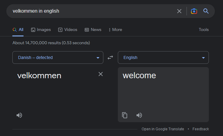
Starting from translating “Velkommen” in English. It is a Danish language word as google translate detected. Its meaning in English is welcome. So it is a welcome board.
Apparently this indicates that the picture is taken from somewhere in Denmark.
Searching about “byferga” revealed that it is a ferry service company in Fredrikstad, Norway.
Before moving forward let’s try to check if the same word exists in Norwegian language or not.

This word “Velkommen” also exists in the Norwegian language. Our guess of Denmark can be accurate.
The Glomma River flows from the city Fredrikstad and these ferries operate between, Vestsiden, Gamlebyen and Gressvik on the river.

The list of ferry stops is mentioned below:
- Vestsiden
- Gamlebyen Brygge
- Isegran Brygge
- Isegaran fergeleie
- Smertu fergeleie
- Sentrum fergeleie
- Vaerste fergeleie
- Gressvik Brygge
Now Switching to Google Earth for confirmation.

Among all of the ferry stops Vestsiden is the similar stop as appeared in the given image.

This street view is different from the given image. The time when this view was recorded they might have removed the area map board. The Velkommen board is also replaced with some other info board.

Rest more than half of the markings are similar. So this is the place from where the picture was taken.
Location: Vestsiden, Fredriksted, Norway.
Here the challenge is completed. Kindly share it if you like. Thank you. See you in the next challenge.
